



Vietnam's Most Dangerous Mountain Passes: Terrain Features and Best Times to Avoid
Mountain passes are what captivate backpackers, but they are also what claim the most lives. Most accidents on mountain passes do not result from high speed, but rather from riders not knowing what lies just beyond the next blind curve. This article lists the mountain passes that demand the utmost caution in Vietnam, along with their terrain characteristics and times to avoid.
Why Vietnam's Mountain Passes Are Uniquely Dangerous
Unlike pass roads in many other countries, Vietnam's mountain passes have three compounding features: narrow road surfaces often lacking continuous guardrails, dense seasonal fog, and geology prone to landslides after heavy rain. On top of that, trucks and passenger buses share the same unlined lanes with motorbikes.
This means good riding skills are necessary, but not sufficient. Reading the terrain ahead of time and choosing the right time of day are just as crucial.
Northwest Passes Group
O Quy Ho (Lai Chau – Lao Cai)
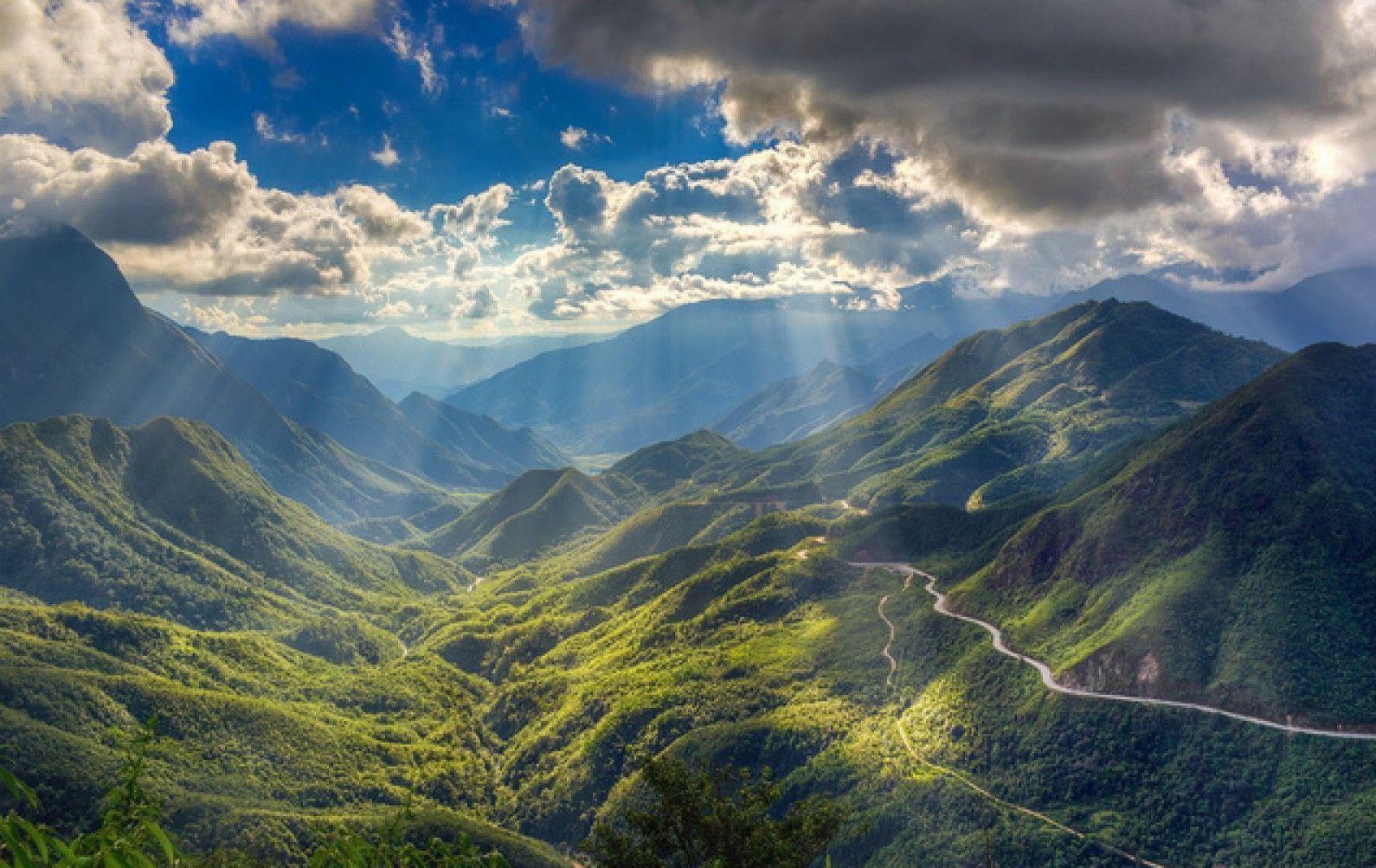
Spanning about 50 km, it is the longest pass in Vietnam, connecting Sa Pa with Tam Duong. The most dangerous section lies on the Lai Chau side, where deep abysses run right alongside the road edge and numerous blind curves completely block the view.
The biggest issue here is fog. From November to March, the fog can be so thick that you cannot see the front of your own vehicle. Fog is usually thickest in the early morning and from around 4 PM onwards. The safest window to ride is between 9 AM and 3 PM.
Khau Pha (Yen Bai)
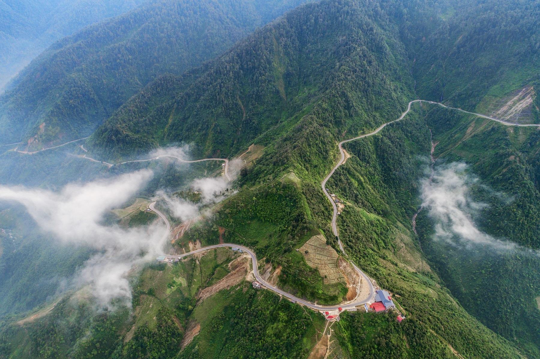
Famous for the Mu Cang Chai terraced rice fields, this pass gets extremely crowded during the golden harvest season in September and October. That very crowd poses a major risk: many people stop abruptly in the middle of the road to take photos, leaving trailing vehicles no time to react.
The road surface is degraded in many spots, with potholes located right inside bends. If you travel during peak season, accept going slow and always assume someone is standing around taking photos just around the next bend.
Pha Din (Son La – Dien Bien)
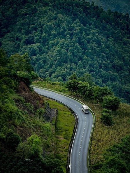
The old pass route is much steeper and features significantly sharper turns than the new one. Many people follow navigation maps without realizing they are being guided onto the old route. Before setting off, clearly determine which route you intend to take.
Ma Pi Leng (Ha Giang)
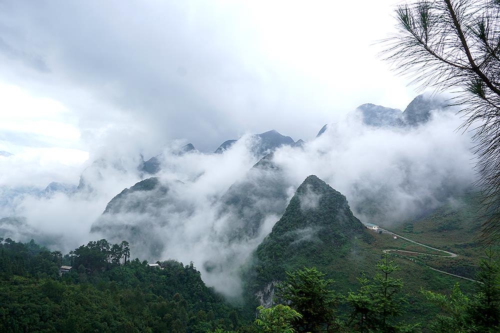
Carved into cliff faces along the Happiness Road, with towering mountains on one side and the Nho Que River on the other. The road is narrow, with many sections barely wide enough for two vehicles to pass each other. The main hazard isn't speed, but falling rocks from the cliffs, especially after rainy days.
Central Vietnam Passes Group
Hai Van (Thua Thien Hue – Da Nang)
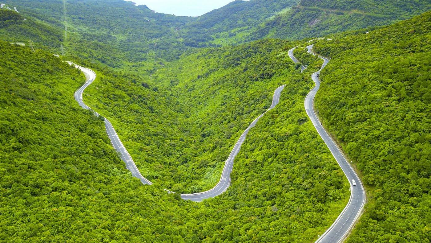
Since the tunnel opened, truck traffic over the pass has decreased, but it remains busy with motorbikes and tourist vehicles. A key thing to watch out for is strong crosswinds along exposed stretches, powerful enough to throw off heavily loaded motorbikes. Rain on Hai Van also arrives very quickly and unexpectedly.
Khanh Le (Nha Trang – Da Lat)

Also known as Omega Pass or Bidoup Pass, it stretches over 30 km with steep, continuous slopes. This pass puts the heaviest strain on vehicle brakes among popular routes. Many cases of brake failure occur from constantly dragging the brakes downhill instead of using lower gears for engine braking.
The middle section of the pass has almost no mobile signal and no shops. If your vehicle breaks down there, you will face a very long wait.
Lo Xo (Kon Tum – Quang Nam)
Located on the Ho Chi Minh Highway, this pass is notoriously dangerous for buses and trucks due to its long descents, constant curves, and scarcity of emergency pull-offs. Motorcyclists traveling this route need to be especially alert to large vehicles coming down behind them.
Central Highlands and South Central Coast Group
Ngoan Muc Pass (Ninh Thuan – Lam Dong)
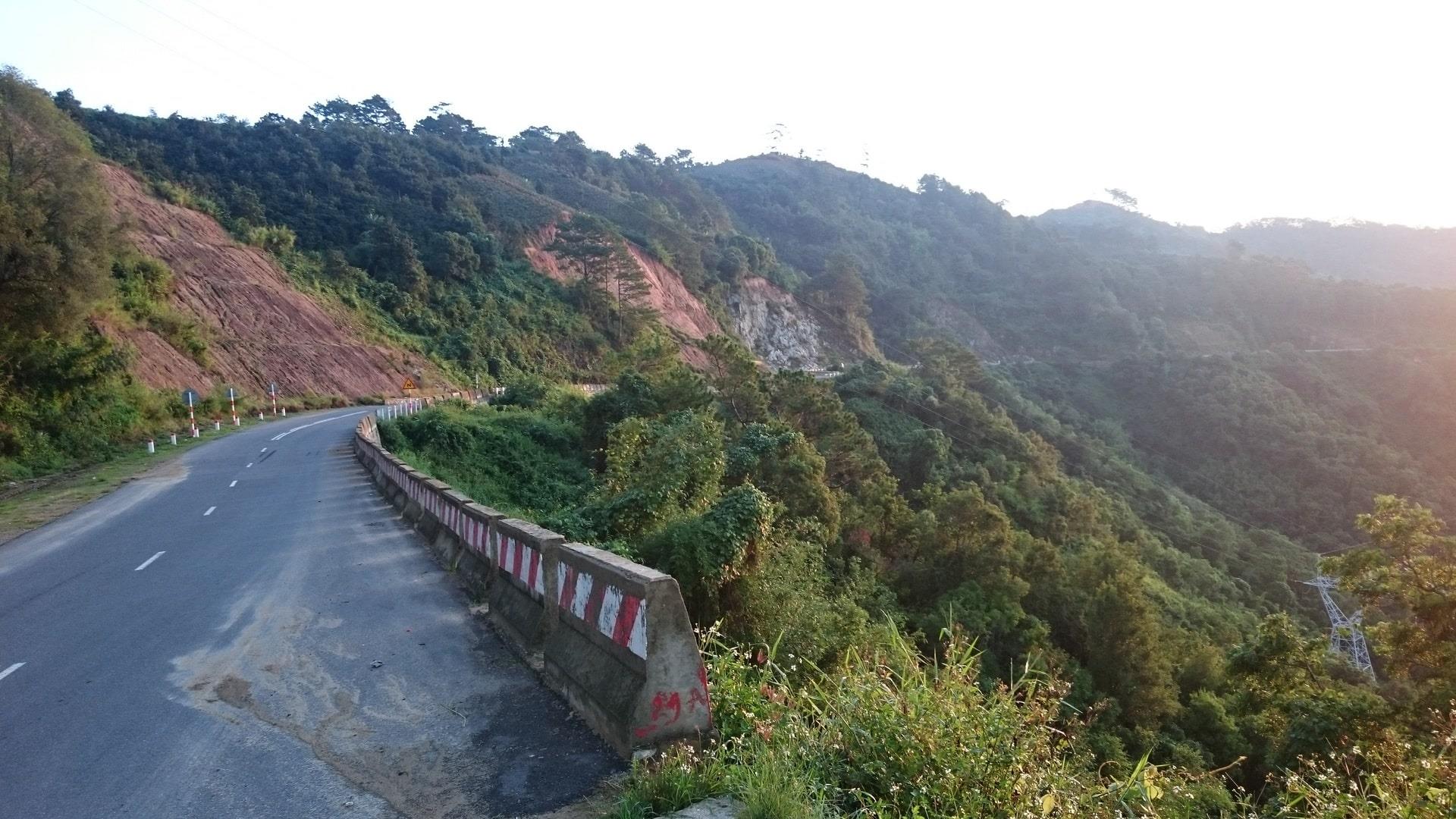
Beautiful scenery, but with hairpin turns in quick succession and steep inclines. Heavy fog often rolls down from the direction of Da Lat in the late afternoon.
National Highway 28 Section from Krong No to Dak Glong
A lesser-known route with poor road surfaces along many stretches and a sparse local population. The upside is light traffic, but the downside is that if trouble arises, finding help can be extremely difficult.
General Rules for Riding Downhill
- Descend using gears, not brakes. Shift to a low gear to let engine braking slow the vehicle. Constantly dragging the brakes heats up the pads and causes brake fade right when you need them most.
- Do not cut corners. Always assume there is an oncoming vehicle veering into your lane.
- Honk before blind corners. This is a habit of long-distance drivers, and it genuinely saves lives.
- Do not ride passes after dark. Motorbike headlights are not powerful enough to illuminate full turning radiuses, and nighttime fog reflects headlight beams, further reducing visibility.
- Check your brakes before every long pass. Test both front and rear brakes while still at the base of the pass.
- Postpone trips after heavy rain. Landslides typically occur within 24 to 48 hours after rain, not always during the rainfall itself.
Preparation Before You Go
Bring a two-piece rain suit instead of a poncho, as ponchos can easily catch the wind and get tangled in the wheels. Fill up on fuel at the foot of the pass because gas stations are rare up on the slopes. Inform family members of your itinerary and estimated time of arrival.
If traveling in a group, agree on waiting stops beforehand. Avoid situations where fast riders disappear ahead while slower riders are left unsure of the route.
Final Words
The list above is not intended to scare anyone, but to help you prepare. Mountain passes are most beautiful when you ride them safely and leave wanting to return again.
If you have traveled these routes and know of any active landslides, roadworks, or dangerous blind spots, please share them in the forum's Experiences & Tips section. Real-world updates from recent travelers are always far more valuable than any roundup article.



 Da Lat without chasing sights: a slow three-day plan with room to breathe
 Is a homestay worth staying in? Do not judge by the pretty room alone
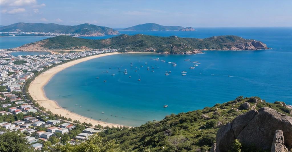 Three days in Quy Nhon: a plan for the sea, a fishing village and a real rest
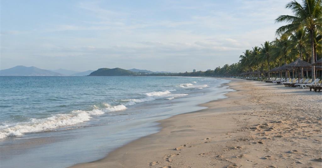 Central Vietnam's beaches after high season: quieter, but what should you watch for?
 Checking into a hotel: 12 things to look at before you open your luggage
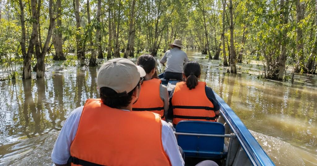 Visiting the Mekong Delta in the flood season: what to prepare for a safe and decent trip
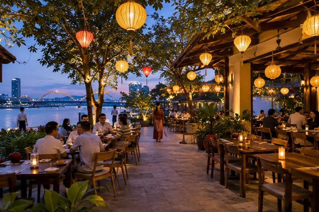 Madame Lan review, Da Nang: a Vietnamese meal by the Han river that suits families and larger groups
 A weekend in Cao Bang: which route keeps you from getting worn out?
Đăng nhập để bình luận: / Sign in to comment: