



Ubar Beneath the Sands of Oman: A Lost City or the Shisr Waystation on the Incense Route?
In the early 1990s, radar and satellite imagery helped trace ancient caravan routes converging near Shisr in Oman. The media quickly dubbed this discovery Ubar—the "Atlantis of the Sands"—but the scale and identity of the site require more cautious phrasing.
The edge of the Rub al Khali was once a link in the network transporting frankincense resin from Dhofar to distant markets. At Shisr, there is a water source, walls, and traces of habitation. Part of the structure collapsed into a limestone sinkhole, creating an image that fits the legend of a place swallowed by the sands.
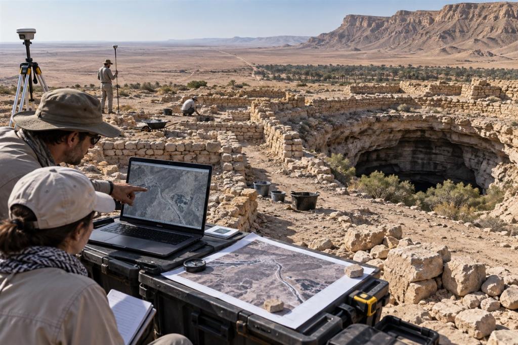
What did the satellites actually discover?
Radar and enhanced imagery do not look through the sand to photograph an entire city. They help identify topographical streaks that are ancient routes, many of which converge at a point with water. Remote data thus played the role of a guide for ground surveys; walls, pottery, and stratigraphy are the archaeological evidence confirming human use of the site.
How large was the Shisr urban area?
The ruins reveal an outpost with rooms, walls, and towers around a water source, suitable for a caravan assembly or rest stop. This scale is much smaller than the visualization of a wealthy metropolis. The name Ubar may refer to a region, a group of people, or a trade network in different sources, so identifying it solely with Shisr remains a matter of debate.
The sinkhole and the story of being swallowed
The limestone geology around the water source easily creates hollow caverns and then roof collapses. Part of the Shisr fortress sits right on the edge of the sinkhole, providing a natural mechanism for the damage. However, the site had many phases of use and decline; there is no evidence forcing the conclusion that an entire community disappeared in a single event.
The true importance of the discovery
Shisr connects archaeology with the broader landscape of the Incense Route, now inscribed by UNESCO along with Wadi Dawkah, Khor Rori, and Al-Baleed. Its value lies in the exchange network and the ability to adapt to the desert. The "lost city of gold" label easily obscures its realistic but no less remarkable role.
Unanswered questions
- The exact meaning of the name Ubar across different traditions and maps is not yet unified.
- The dating of each caravan route discovered remotely needs to be confirmed on the ground.
- The extent of the sinkhole's contribution, trade changes, and climate to the decline is still being studied.
Conclusion
Satellite imagery contributed to rediscovering a real trade node at Shisr, but it does not inherently prove this is the metropolis of Ubar in every legend. The most accurate description is an important archaeological site on the incense network, often associated with Ubar.


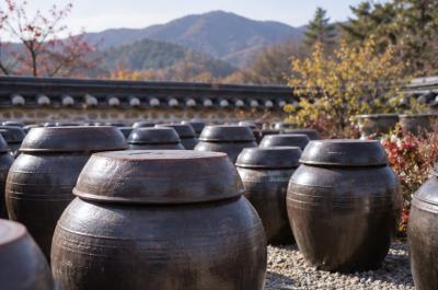 Korean kimchi and banchan: the craft of fermentation and a table built on sharing
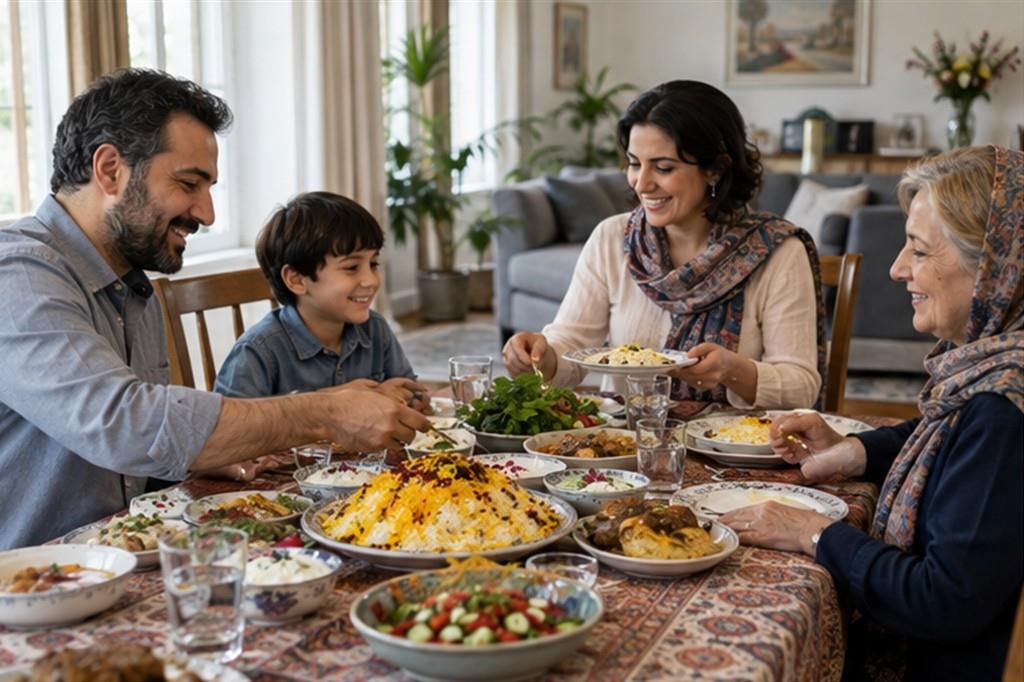 Persian rice and tahdig: saffron, a crisp bottom layer and the sofreh
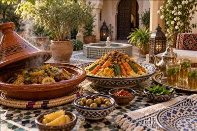 Moroccan couscous and tagine: rhythm, hospitality and the flavours of North Africa
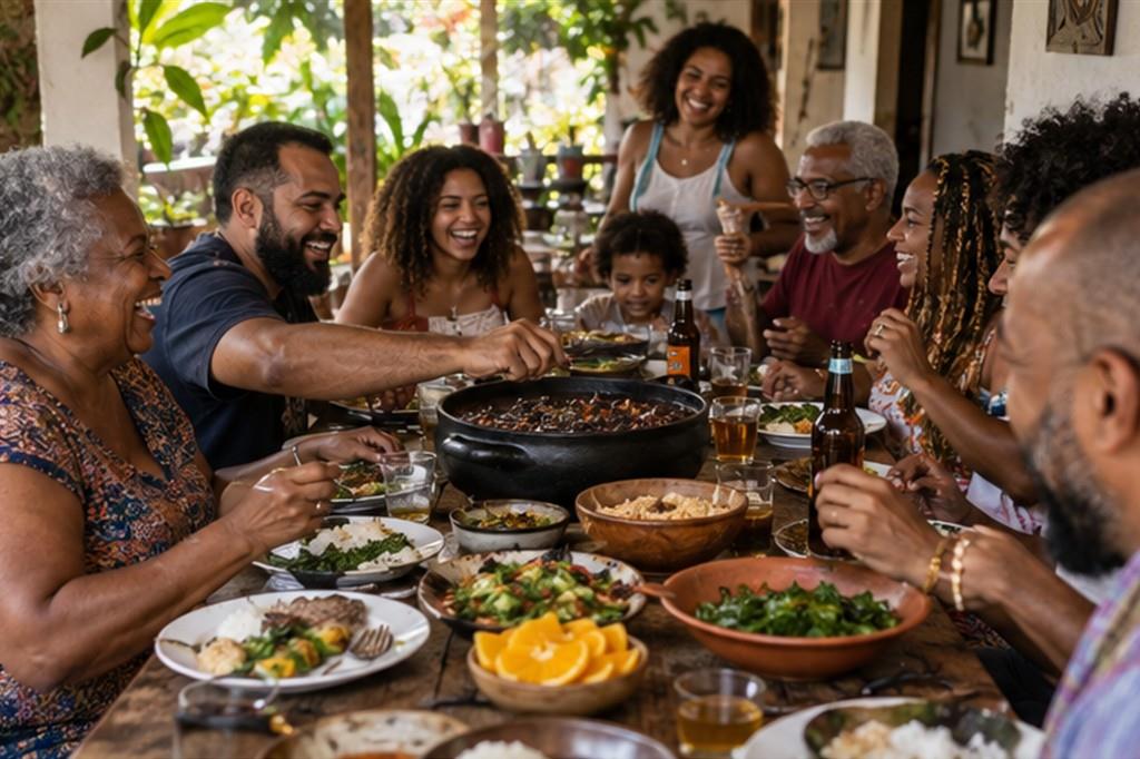 Brazilian feijoada: a pot of black beans, a weekend lunch and a story with many roots
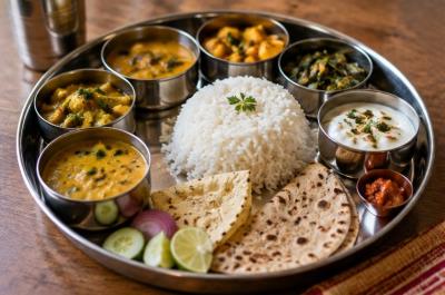 The Indian thali: a balanced tray that tells a regional story and a way of eating together
 Danish smørrebrød: the open sandwich and the art of composing a lunch
 Swiss raclette: melted cheese and a shared table in the cold season
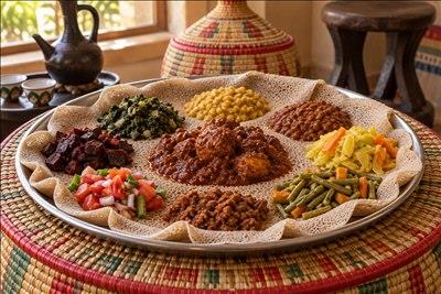 Injera in Ethiopia and Eritrea: the shared platter that binds a community
Đăng nhập để bình luận: / Sign in to comment: